Some photos were obtained during the mission from the 10th to the 19th of February 2023, showing Bandiagara II, Koutiala, Mali landscape and socio-economic aspects.
Some georeferenced photos recorded using Iphone 12 mini smartphone with the GPSMapCamera app (Figures 1, 2, 3 and 4).
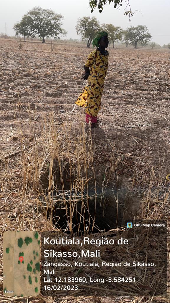
Figure 1: Geotagged photograph illustration, groundwater water well location, Bandiagara II Village.
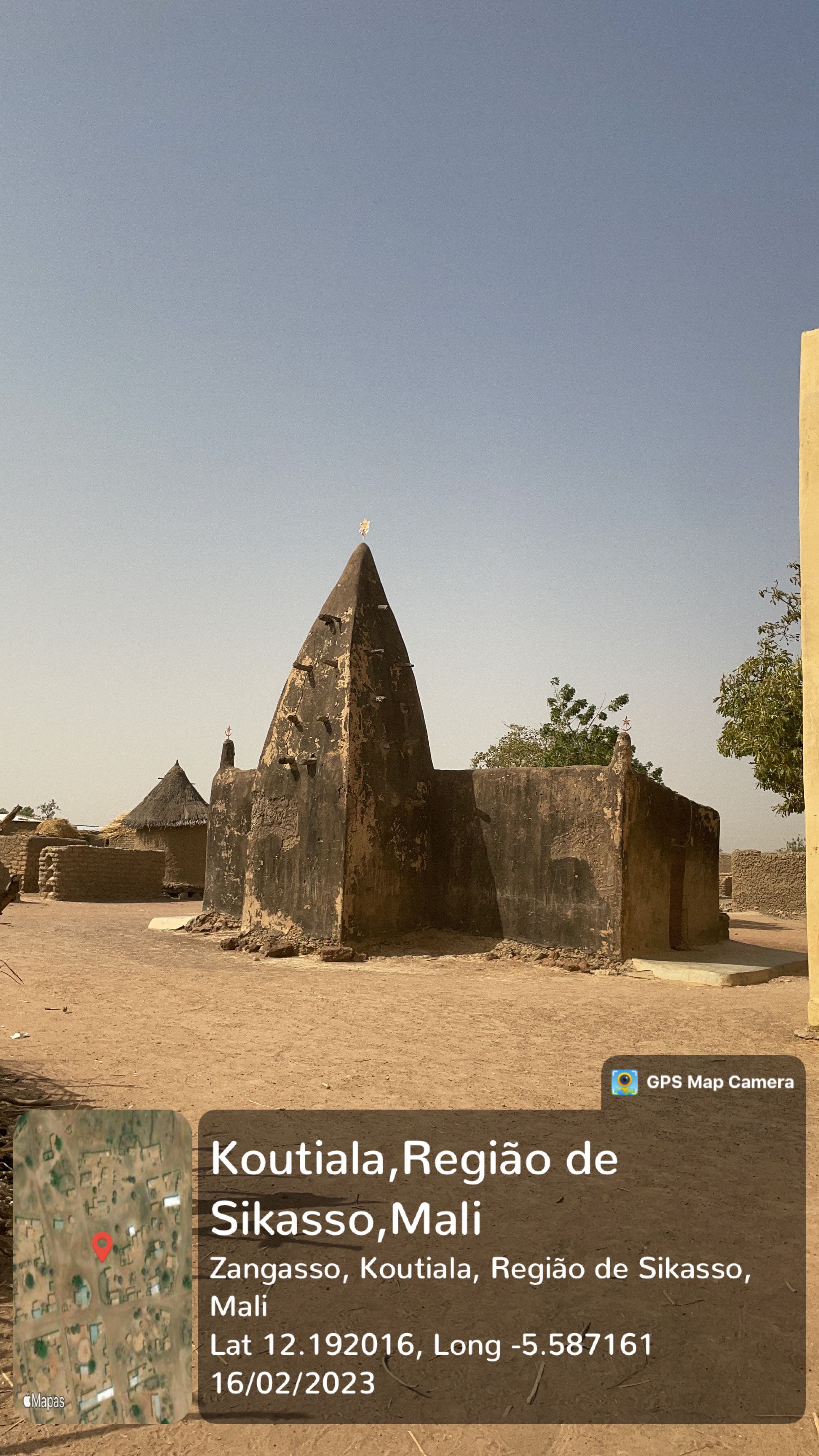
Figure 2: Geotagged photograph illustration, old mosque view, Bandiagara II Village.
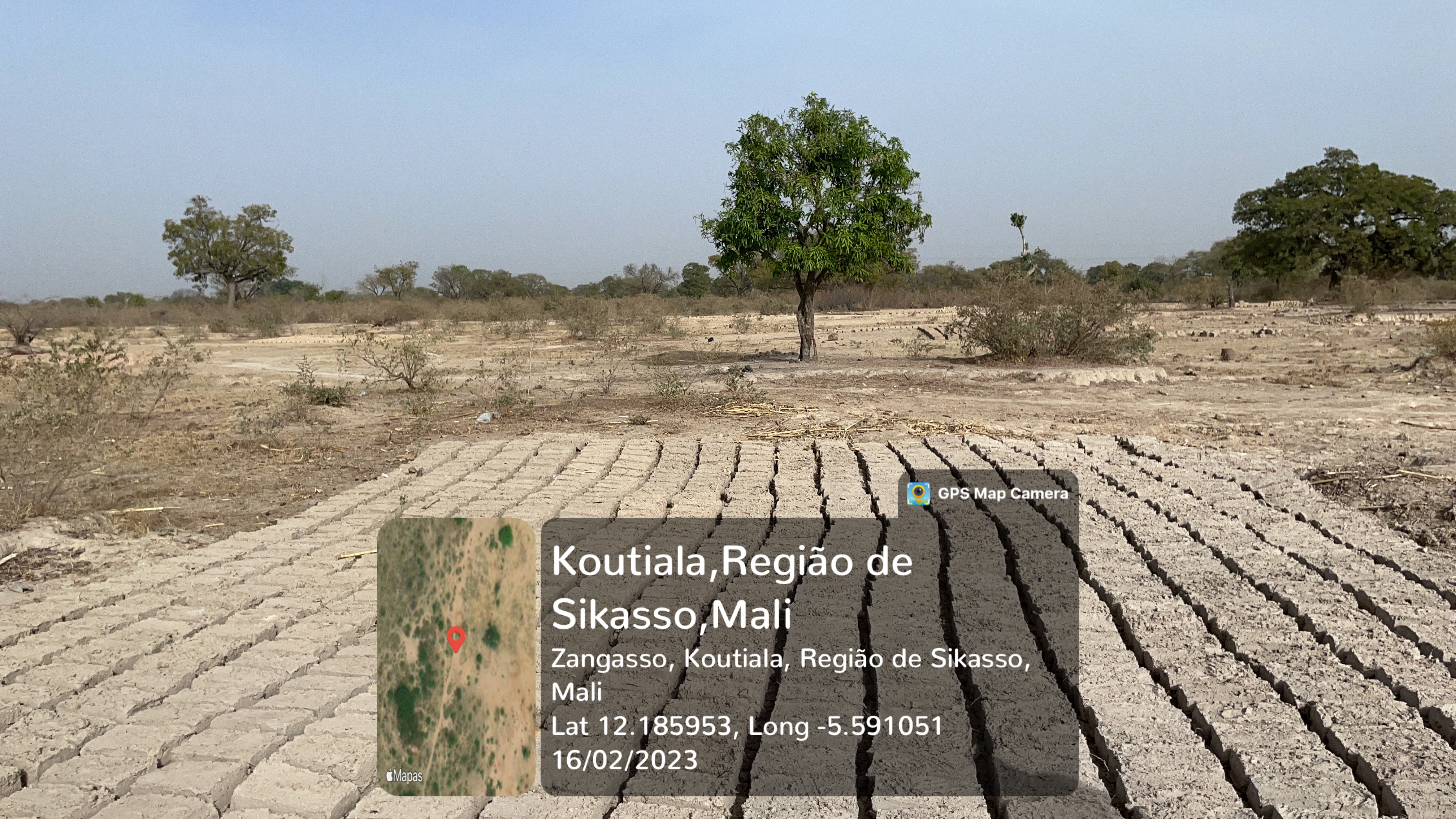
Figure 3: Geotagged photograph illustration, location of adobe brick production area, Village Bandiagara II Village.
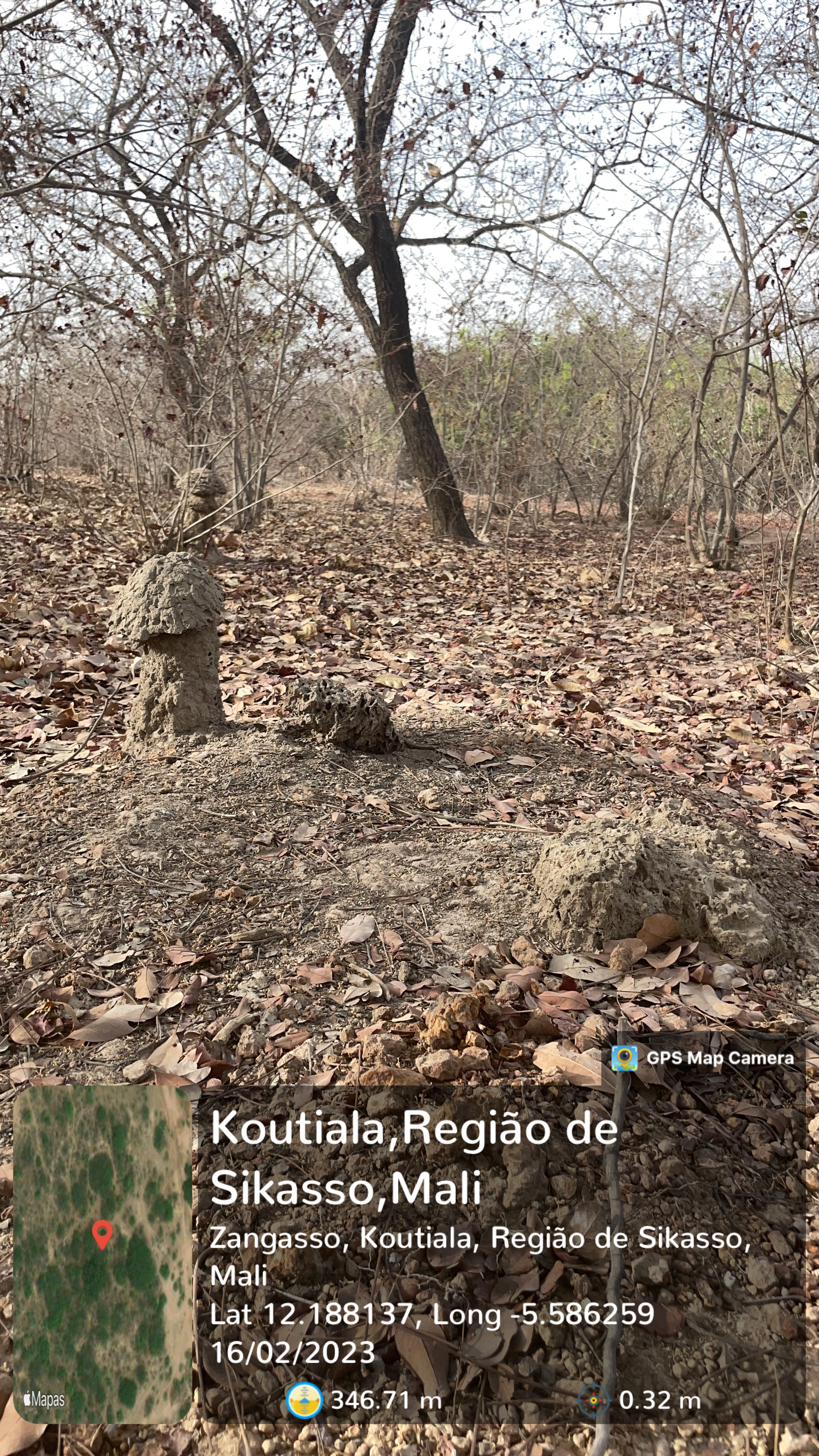
Figure 4: Geotagged photograph illustration, location of cemetery, Bandiagara II Village.